PokéGuessr
An image of a place in the Pokémon world, a map of the region, and one job: mark where that location is. Towns, routes, caves and landmarks all show up.
Score depends on how close your pin lands, so committing to the right area pays off even when you cannot name the exact spot. Terrain gives the region away faster than any building does.
How to play
PokéGuessr
- You get a close-up screenshot of a place in the Pokémon world.
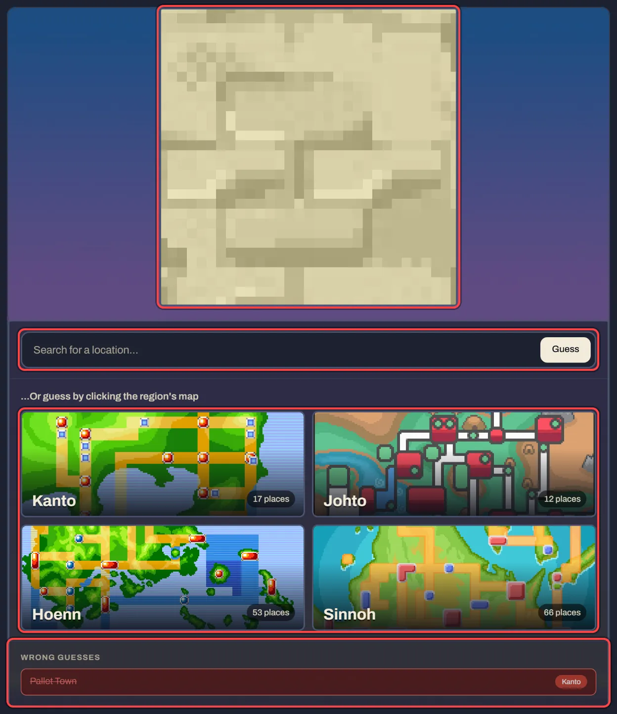
- Name it: type the place, or pick a region and tap the spot on its map.
- Each miss shows more of the picture, until you get it.
PokéGuessr shows you a view of somewhere in the Pokémon world and a map of the region it belongs to. You place a marker where you think that place is, and the round scores how close you landed. Towns, routes, caves and landmarks are all fair game.
Because scoring is by distance rather than by name, a round is never all-or-nothing. Recognising the region but not the exact spot still earns most of the points, which means committing to a best guess always beats leaving the marker in the middle.
Reading the image
Terrain gives the region away long before any building does. Volcanic ash and desert point at Hoenn, permanent snow at Sinnoh, dense industrial sprawl at Unova. Fix the region first — it is worth far more than guessing the exact town in the wrong one.
Ignore Pokémon Centers, Marts and the standard house templates. They are reused unchanged across every town in a region, so they carry no location information at all. Read what is behind them: the water, the elevation, the tree line, the path layout.
Narrowing it down
- Find the water. Coastal towns sit on the edges of a region map, so seeing open sea eliminates the entire interior at once.
- Follow the path geometry. A route that bends sharply or splits in three is distinctive, and the map shows the same shape from above.
- Use elevation cues. Stairs, ledges and cliff faces mean the place sits on a slope, which only a few parts of any region do.
- When torn between two routes, pick the one that connects to the town you do recognise. Adjacency is usually easier to recall than the route number.
- If you have no idea at all, place the marker centrally within the right region rather than on a specific guess. It caps how much a wrong answer costs.
Common mistakes
- Identifying a building instead of a place. The same Center art appears in dozens of towns.
- Forgetting that routes are numbered per region, so a remembered number does not pin a location until you have settled which region you are in.
- Leaving the marker where the map opened. A default position is a guess too, and usually a bad one.
About the maps
Each region is drawn as a single map you can pan and zoom, and the marker you drop is measured against the location's real coordinates on that map. Distance, not a guessed name, decides the score, so partial knowledge is always rewarded.
The location of the day is picked from the date, the same way every other daily mode works here, so two players comparing scores are comparing the same round.
FAQ
Which regions are included?
The maps cover the main-series regions the site has hotspots for; the pool grows as more are added.
Can I zoom in before placing?
Yes. Panning and zooming is free and does not affect the score.
Is close enough good enough?
Score falls off with distance rather than requiring a pixel-perfect hit, so a near miss still scores well.
PokéPuzzles is an unofficial fan project, not affiliated with or endorsed by Nintendo, Creatures, GAME FREAK or The Pokémon Company. Pokémon and its character names are trademarks of Nintendo.